
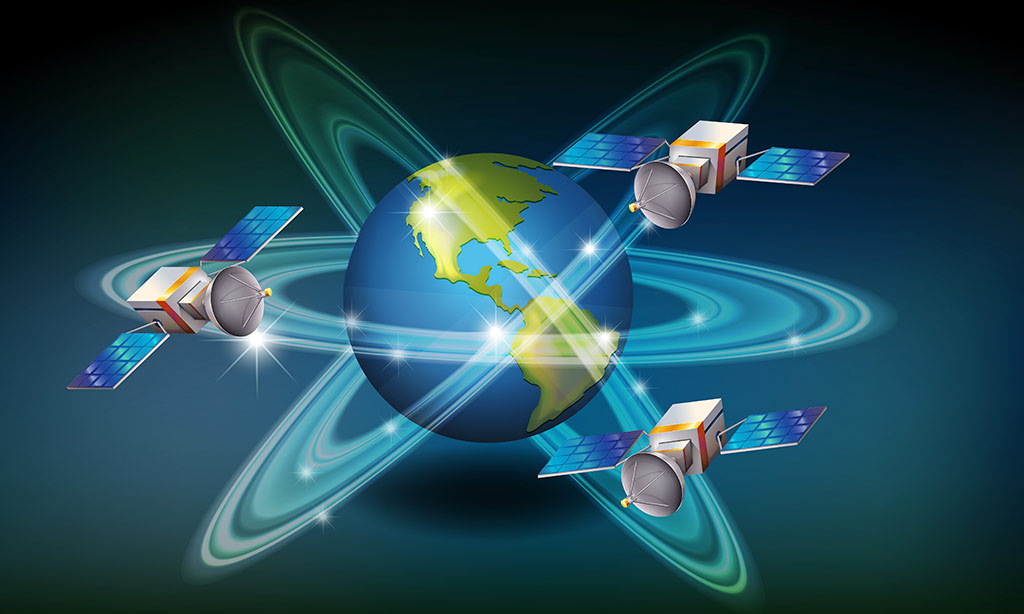
Since 2023, VMS Logistic LLC has emerged as a new player in the Earth monitoring satellite market in the Republic of Kyrgyzstan. It serves as a distributor for leading companies operating satellites for remote sensing of the Earth from space (ERS) in North America, Europe, and Asia. VMS Logistic LLC offers customers high and ultra-high-resolution satellite images.
The mission of the company is to introduce competitive space technologies, products, and services in the interest of its customers. The partners of VMS Logistic LLC include:
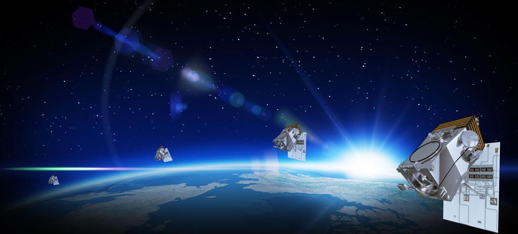
Planet company (USA): Currently, the company operates the PlanetScope, SkySat, and RapidEye satellite constellations.
Joint Stock Company "National Company "Kazakhstan Garysh Sapary" (Kazakhstan): This company operates the KazEOSat-1 and KazEOSat-2 satellites.
SI Imaging Services (SIIS): This company supplies remote sensing data from Korean satellites of the KOMPSAT series. Additionally, SIIS is the distributor of data from the Dubaisat-2 and Deimos-2 satellites.
SpaceWill Info. Co., Ltd. is a leading provider of satellite data and geospatial services in China. The company operates the SuperView satellite constellation and serves as a distributor of data from various Chinese remote sensing satellites, including GF-4, GF-3, GF-2, GF-1, ZY-3, ZY-3 02, HJ-1A, HJ-1B, and more.
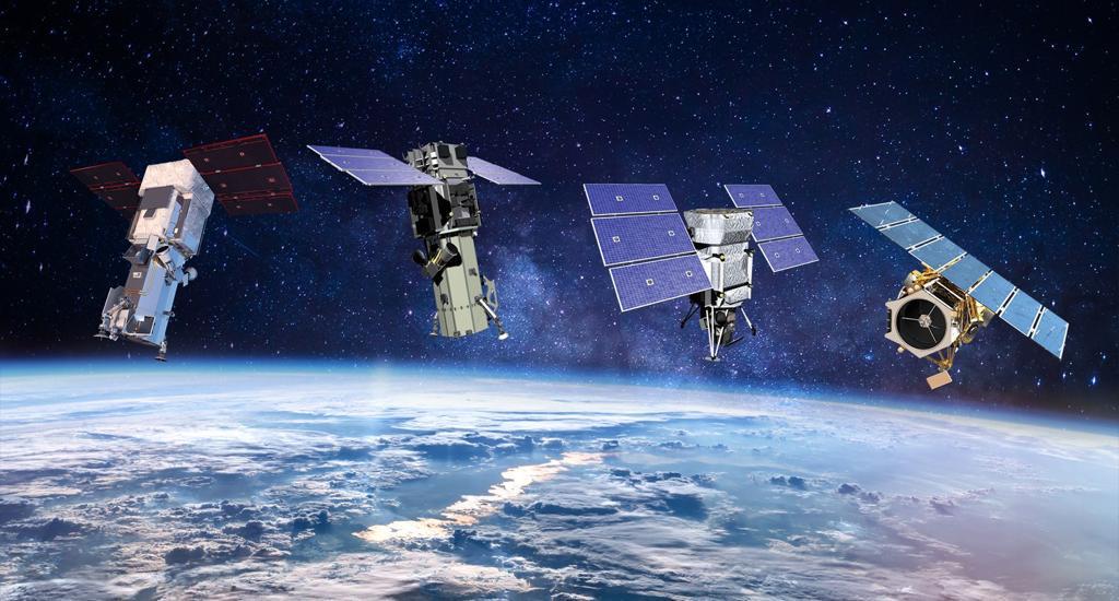
Maxar Technologies is a global leader in the ultra-high-resolution remote sensing industry. The company possesses unique capabilities to provide a wide range of space images and geoinformation services. Maxar Technologies operates optical remote sensing satellites such as WorldView-1, WorldView-2, WorldView-3, and GeoEye-1.
Our company offers innovative high-tech solutions that simplify and reduce the cost of accessing remote sensing data, while creating complex products tailored to specific goals and objectives.Space photography is a method of remote sensing the Earth's surface using spacecraft located in orbit. It enables the acquisition of images of the terrain in the visible, infrared, and radio ranges of the electromagnetic spectrum, with specified parameters and characteristics.
Remote sensing of the Earth involves observing and measuring the emitted and reflected radiation from the land, ocean, and atmosphere using specialized equipment installed on space and other aircraft. This process enables the detection of changes, spatial distribution, and temporal variability of natural phenomena, Earth's objects, the environment, and anthropogenic features
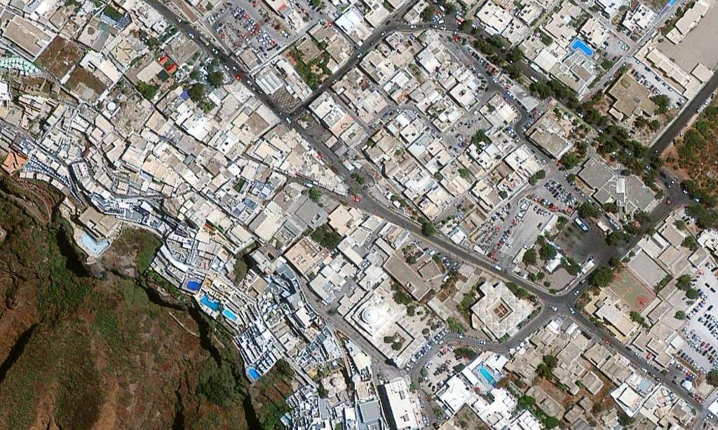
Satellite imagery of the Earth offers the most efficient and cost-effective means of obtaining spatial data. Modern space images possess high measurement and visual qualities and are presented in digital format. The spatial resolution of space images can reach 30 cm, with an orbital reference accuracy of 2.5 m (SKP). These capabilities enable the solution of various tasks for the government, scientific research, and businesses. For more information on ultra-high-resolution images, please click here.
VMS Logistics manufactures derivative materials of space surveys in photographic and digital (electronic) formats. The company engages in the supply of archival and newly acquired satellite imagery from optical-electronic and radar satellites, including WorldView-1/2/3/4, GeoEye-1, TripleSat, SuperView-1, ZY-3, Gaofen-1/2/3; KompSat-2/3/3A; Resurs-P, Kanopus-V, ALOS, SPOT, ASTER, Landsat-7/8, TanDEM-X, RadarSAT, COSMO-SkyMed 1–4, and others. Additionally, VMS Logistics performs photogrammetric processing of satellite images, creates seamless orthomosaics and orthomaps, as well as digital elevation models (DEM) and terrain models (DTM).
To order new and archival space imagery, please contact our authorized partners who work directly with space imagery operators.
